SPOT™
Sensor Placement & Optimization Tool
SPOT™ uses three-dimensional imaging technology to determine the optimal placement for sensors such as radar, sonar, unattended ground sensors and perimeter intrusion detectors.

Customizable and compact
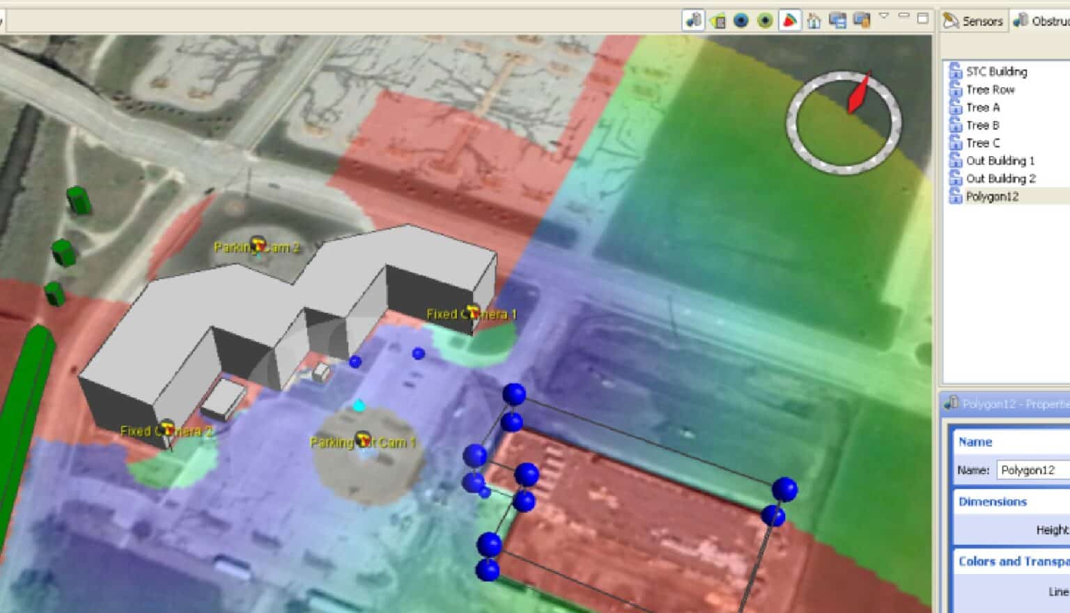
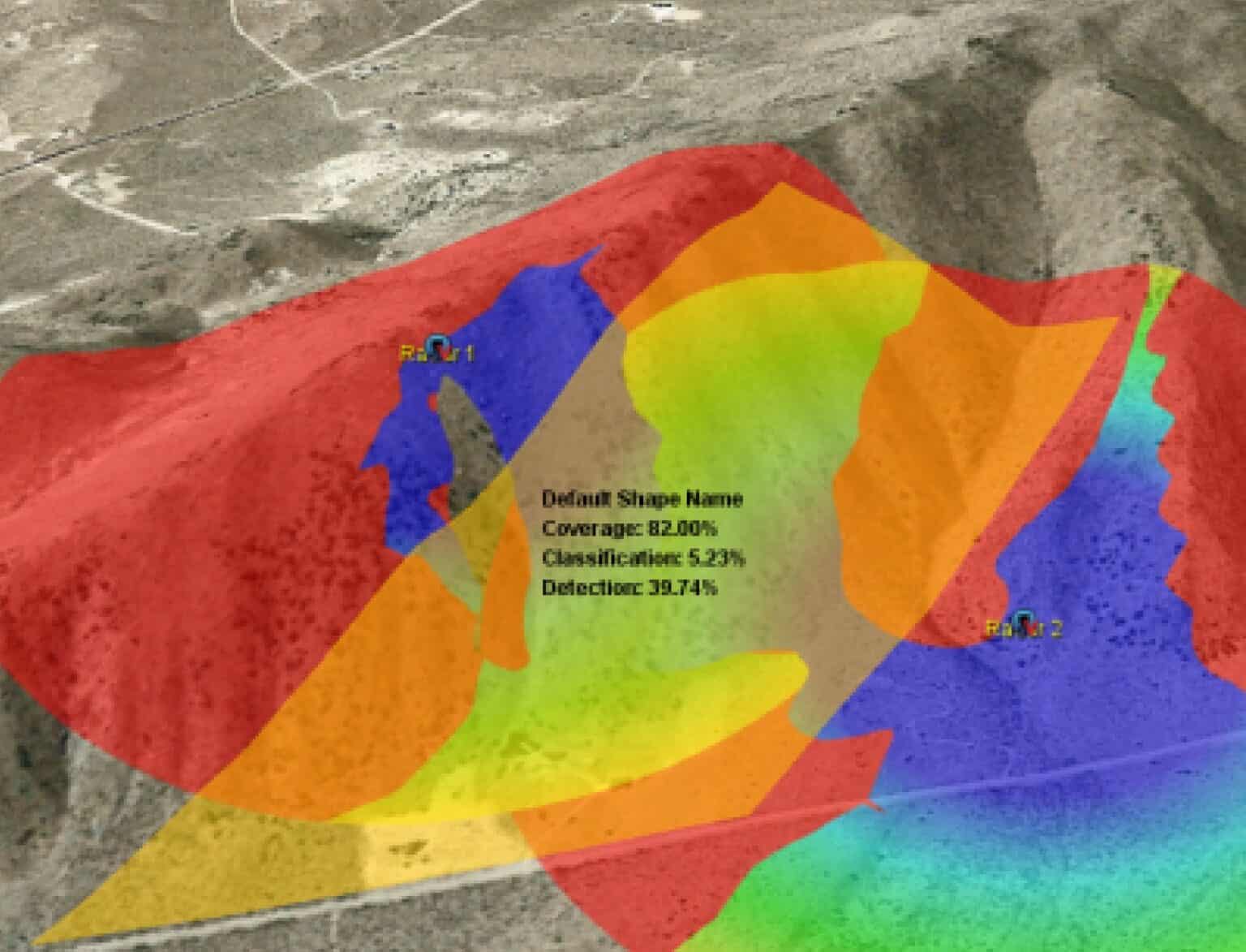
Persistent Sentinel’s SPOT enables security operators to quickly assess the effectiveness of existing or proposed sensor systems. Using a combination of elevation data and customizable 3D models, SPOT calculates sensor coverage areas and presents color-coded results on a geographic information system (GIS) display. This enables site planners to virtually place sensors, assess a variety of sensor combinations, and create a design that eliminates blind spots.
SPOT is customizable and compact enough to run on a laptop. It can be used to create simple 3D models representing buildings, vegetation, and other obstructions. Once the obstructions have been created, a site planner can use the software to determine the overall effectiveness of the sensor network.
SPOT Advantages
Reduces planning costs
by providing real-time, virtual analysis of sensor placement
Utilizes standard GIS formats
for elevation and imagery
Optimizes the placement of sensors
from any manufacturer’s suite of products
Key Features
- Line-of-Site coverage calculations
- Customizable sensor templates for defining sensor standoff, detection and classification ranges
- Custom obstruction creation including buildings,
vegetation, and other obstacles - Efficient report generation with color-coded results
